Authenticating Portal...
Research-grade GIS solutions, hydrological hazard mapping, spatial analysis, custom web-GIS applications, and vulnerability assessment frameworks.
10+
Projects Delivered
Delivering high-precision spatial analysis, aerial mapping, and GIS consultancy tailored for modern infrastructure and environmental resilience.
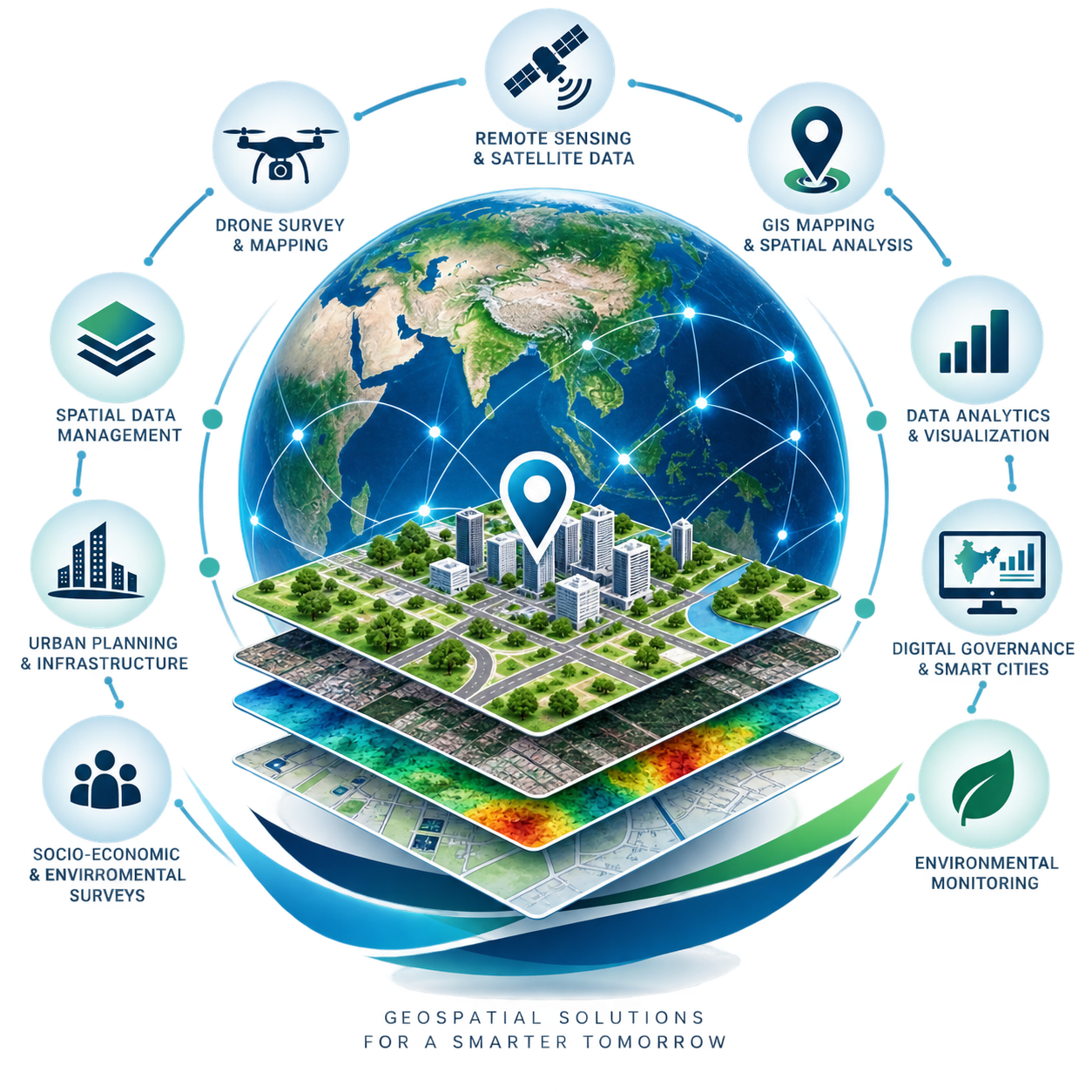
Enterprise GIS setups, spatial database architecture, vector digitizing, and spatial workflow automation.
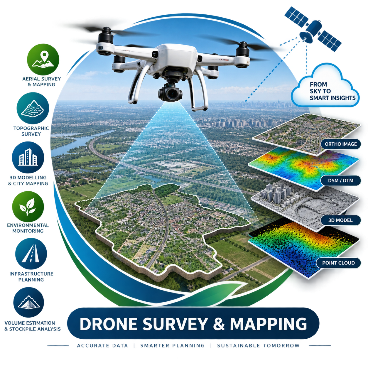
High-resolution aerial mapping, orthomosaic generation, thermal scanning, and 3D terrain reconstruction.
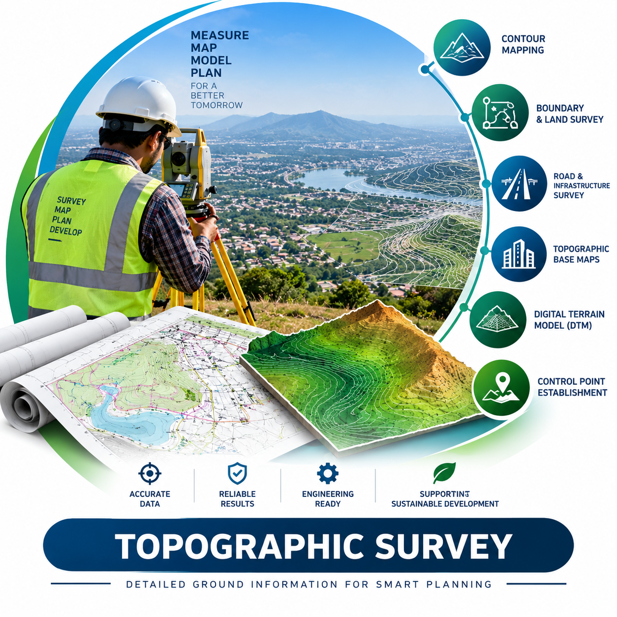
Precision land contouring, elevation mapping, boundary determination, and civil site engineering measurements.
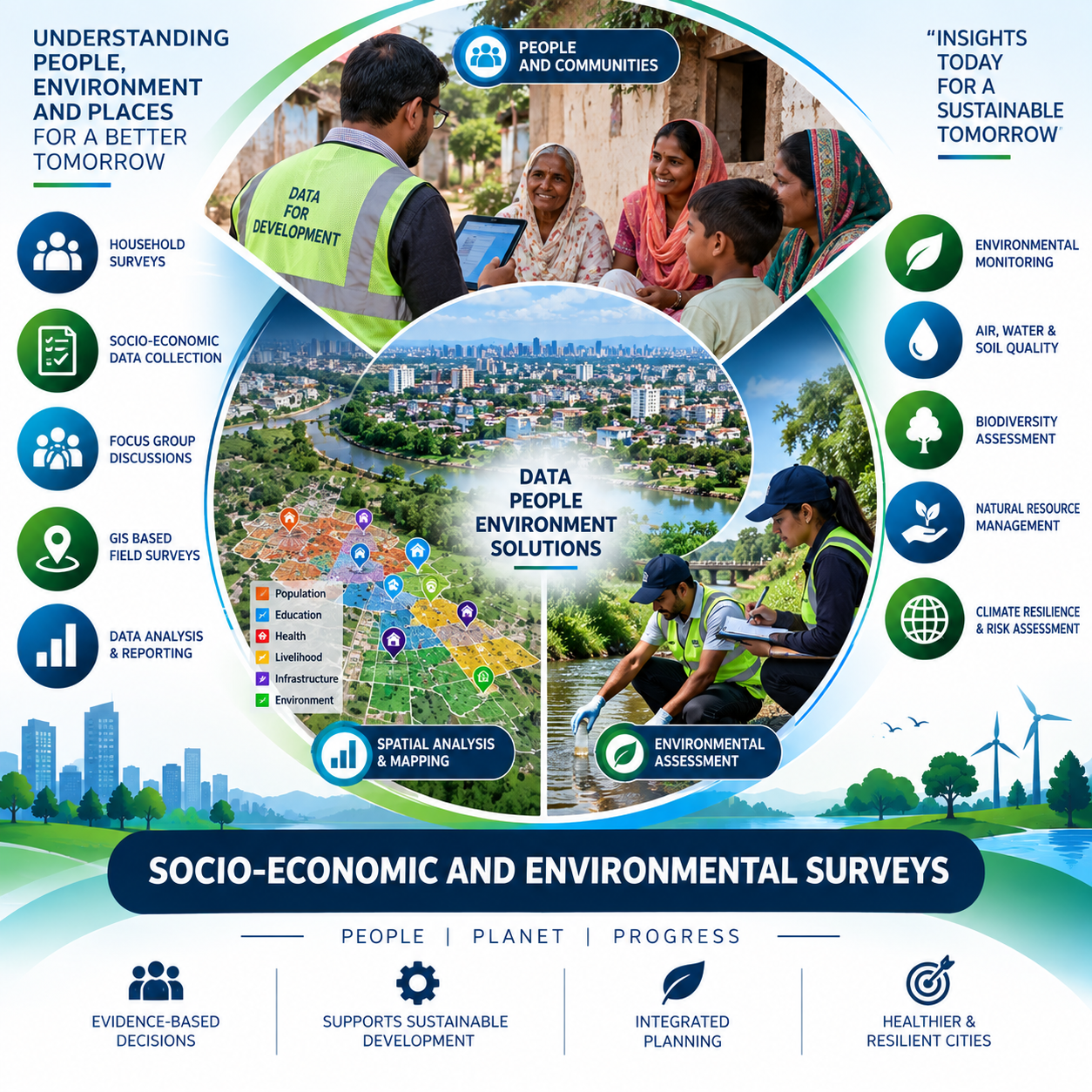
Analyzes the relationships between human populations, economic activities, and natural surroundings using digital spatial data.
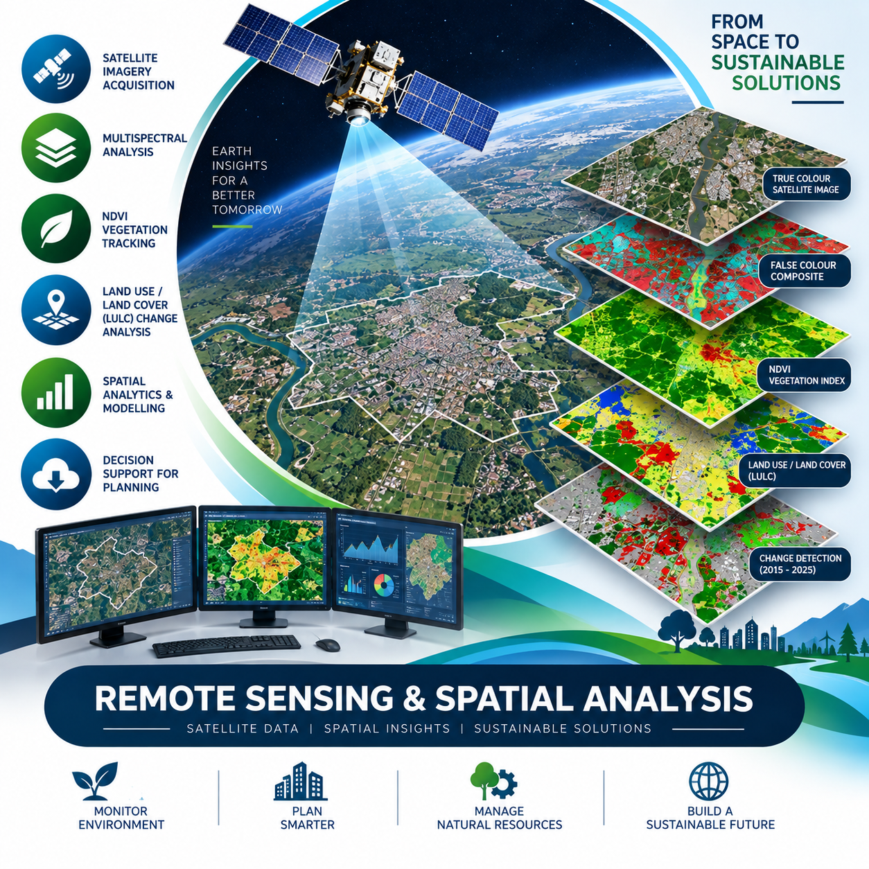
Satellite imagery multispectral analysis, NDVI vegetation tracking, and land-use / land-cover (LULC) changes.
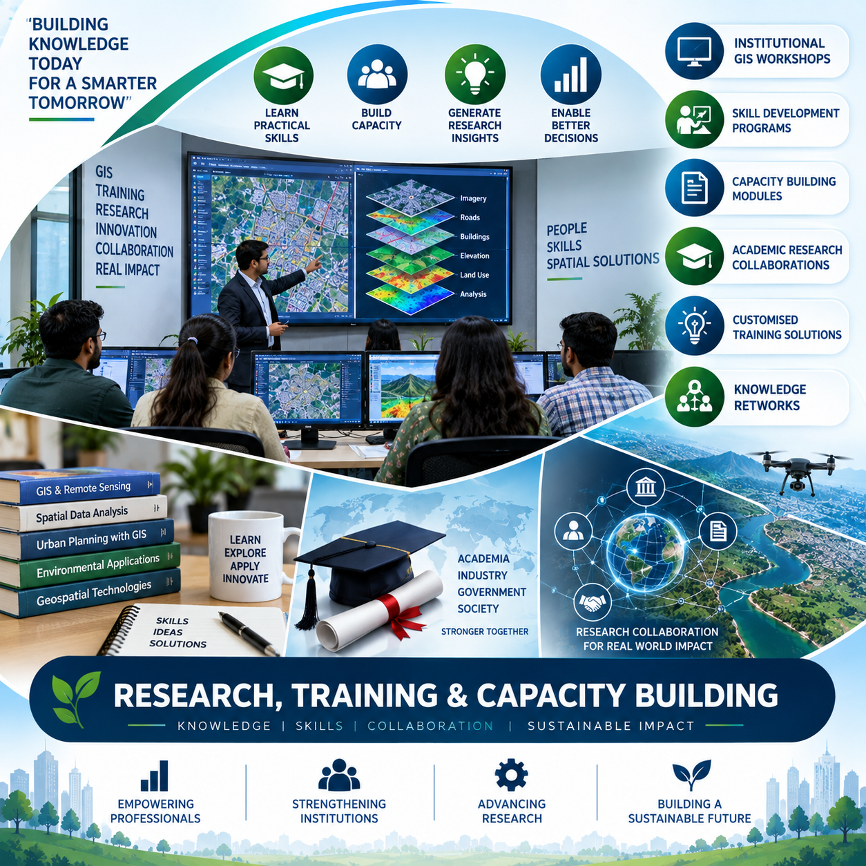
Institutional GIS workshops, skill development, capacity training modules, and academic research collaborations.
Target Domains
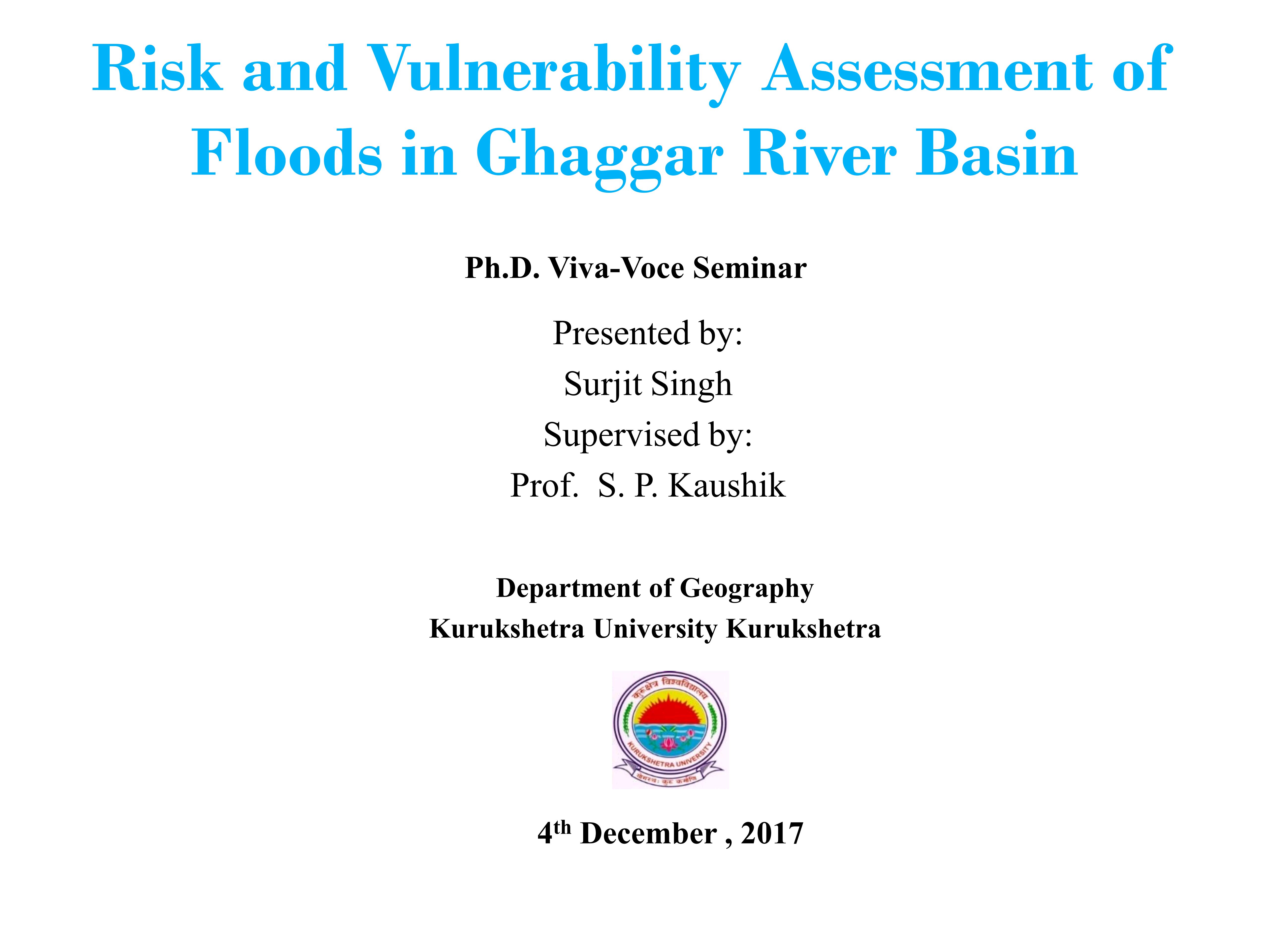
Sign in to preview the first few pages. Request full access to receive the complete paper via email upon approval.
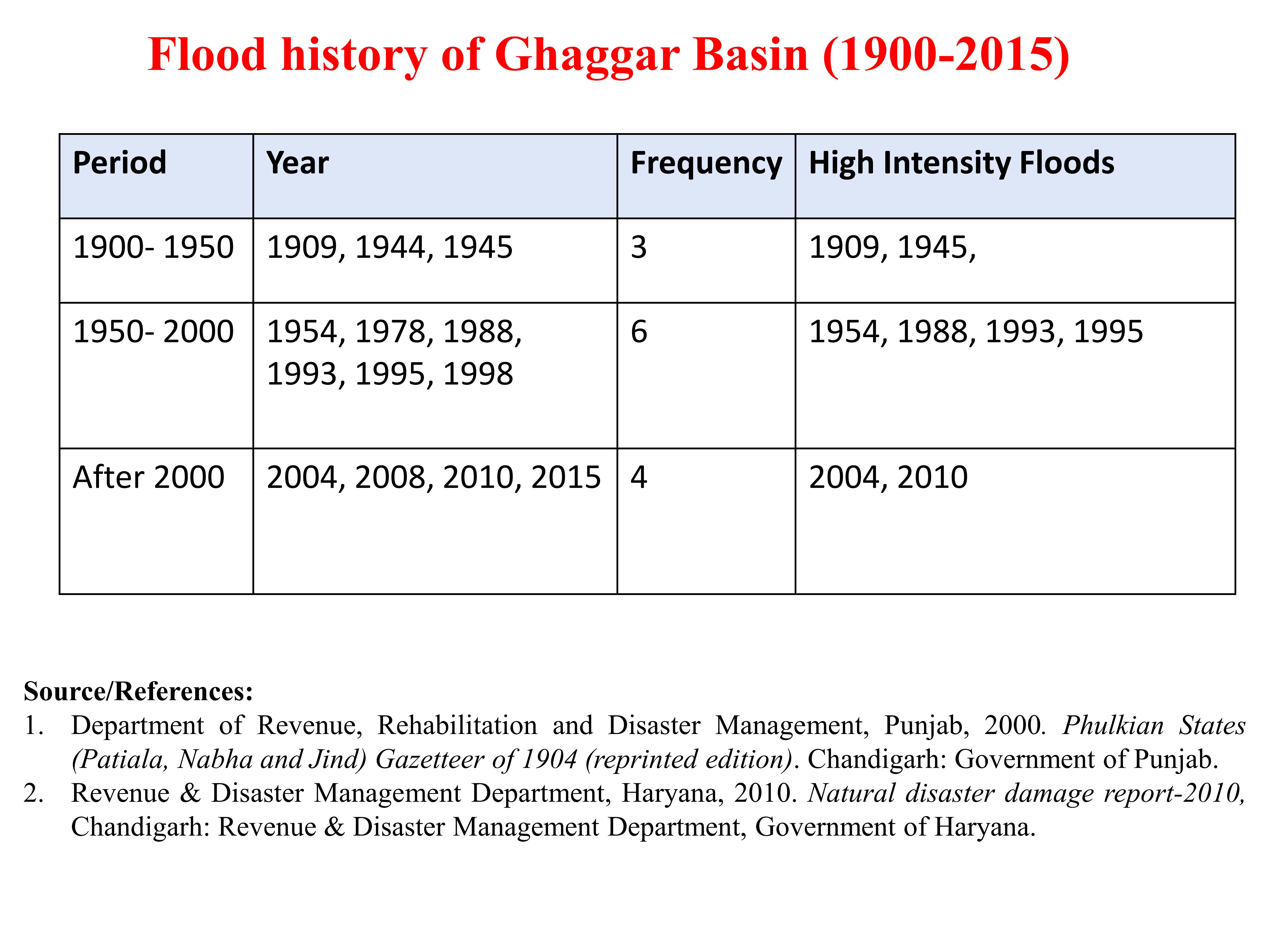
Multi-criteria spatial modeling using high-resolution DEM, land-use change detection, and historical breach density analysis.
Key achievements and expansion milestones defining our growth in spatial research and engineering consultancy.
Established GeoSpatial Technocrats with a focus on custom GIS spatial database architecture and environmental consultancy.
Expanded operations to include high-resolution aerial mapping, orthomosaic generation, and LiDAR point-cloud processing.
Crossed over 10+ successful client deliveries across urban planning, utility mapping, and disaster risk reduction.
Launched automated satellite image feature extraction pipelines and interactive real-time spatial web dashboards.
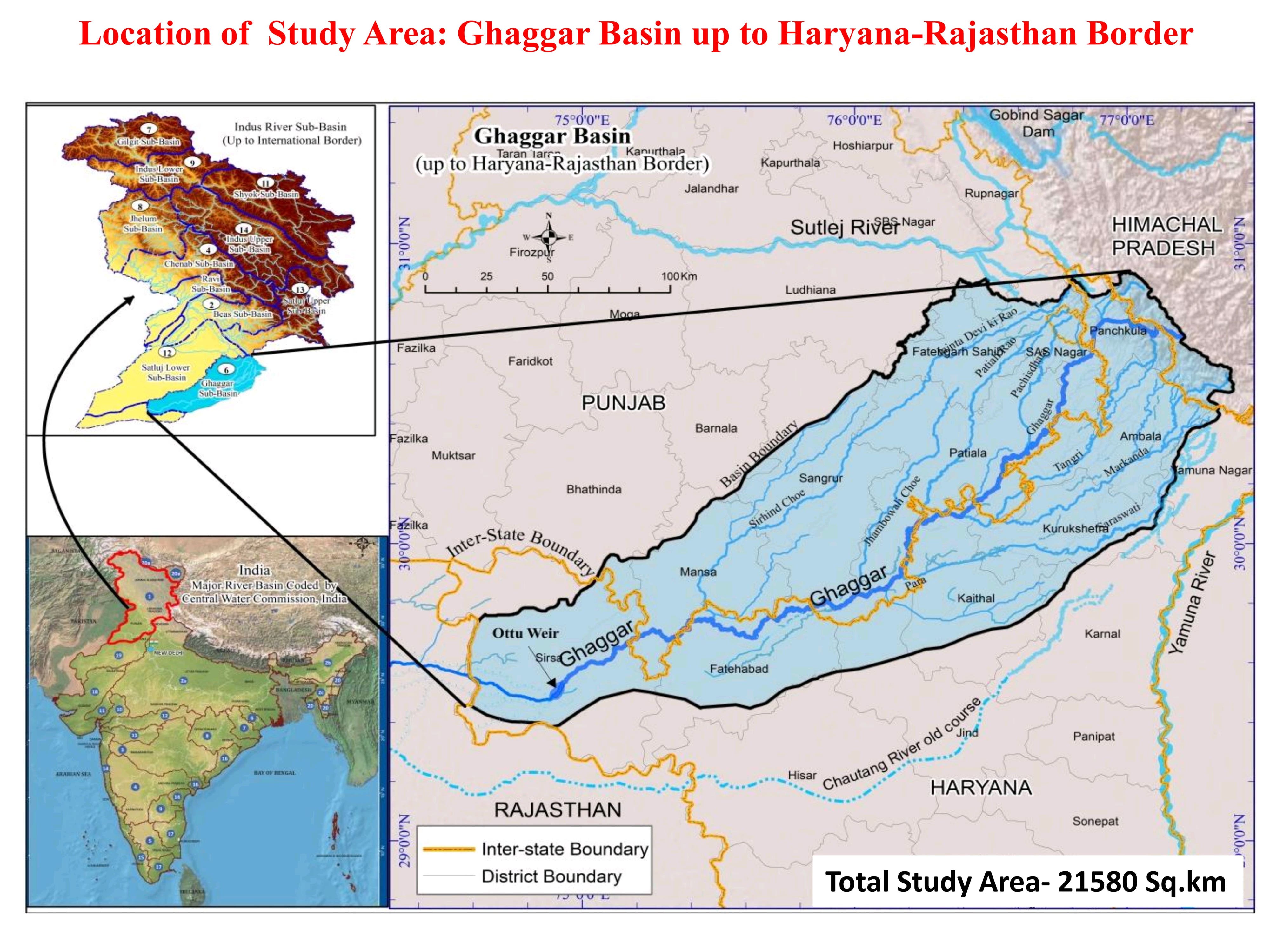
Explore our comprehensive GIS mapping projects, hydrological modeling, and basin-level vulnerability assessments.
Supporting river rejuvenation, Urban River Management Plans (URMPs), drainage assessment, floodplain management, wastewater infrastructure, environmental monitoring, and geospatial decision support systems across India.
Common questions regarding our GIS consultancy, technical accuracy, and deliverables.
Using RTK/PPK enabled aerial platforms combined with Ground Control Points (GCPs), we routinely achieve sub-centimeter horizontal accuracy and 1-3 cm vertical accuracy for land boundary and civil surveying projects.
We deliver data in standardized GIS and CAD vector/raster formats including GeoJSON, Shapefile (.shp), KML/KMZ, GeoTIFF, AutoCAD DWG/DXF, and PostGIS spatial database dumps depending on your workflow requirements.
Yes. We develop custom web-based GIS dashboards leveraging Leaflet, Mapbox, and OpenLayers backends, allowing you to view telemetry, run queries, and export reports without needing specialized GIS software installed locally.
You can fill out the quote request form in our Contact section, or call/email us directly at +91 7719648064 / info@geospatialtechnocrats.com.
With over 15 years of experience in GIS architecture and spatial data science, Our Founder started GeoSpatial Technocrats to bridge the gap between complex geographic data and actionable business intelligence.
Submit Your Review Below
Bishan Garh Colony, Backside RKSD College,
33 feet road, Kaithal, Haryana - 136027
06ACIFM3749G1Z2
Get Directions- Office Under Consutruction